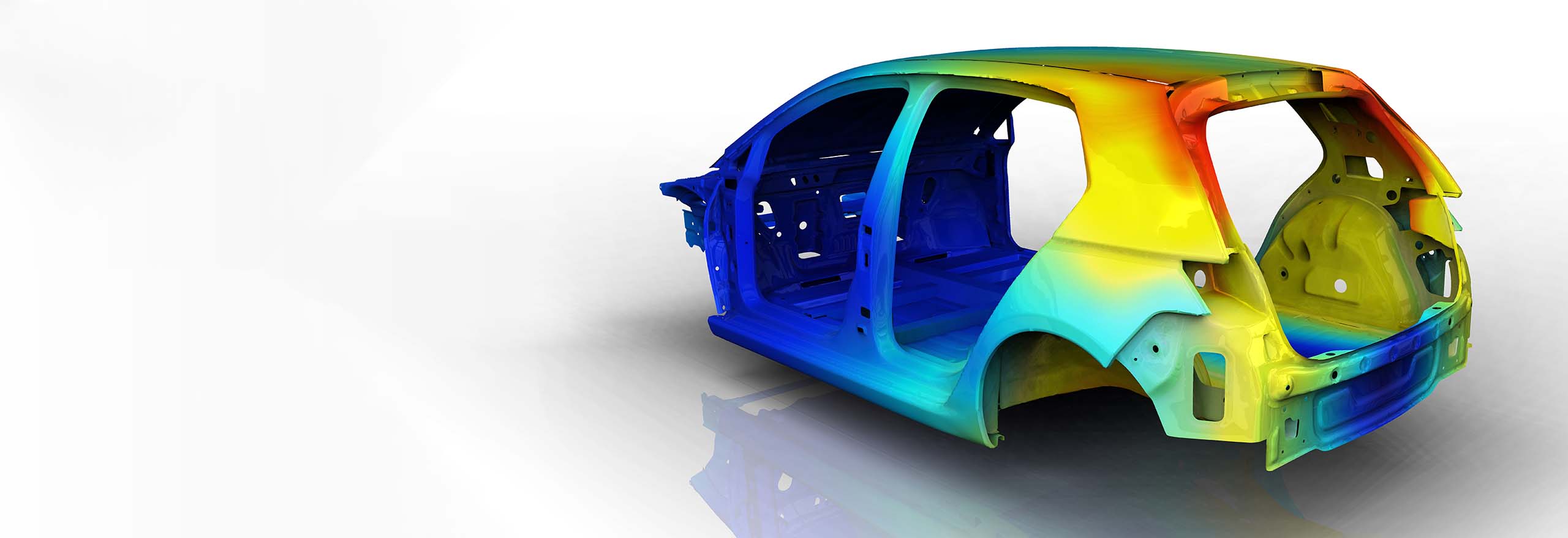
Our Equipment
From terrestrial 3D laser scanners to laser trackers — explore our extensive list of equipment.
From terrestrial 3D laser scanners to laser trackers — explore our extensive list of equipment.
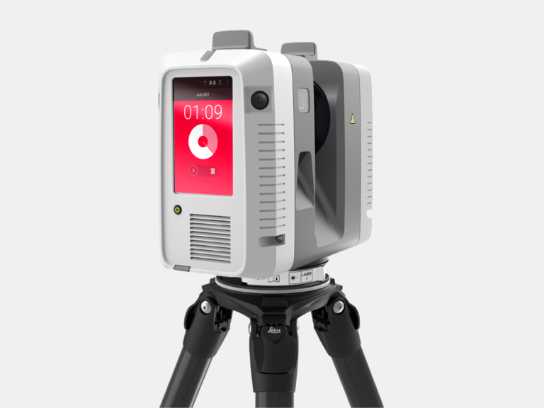
With a range of 0.5-130 m and a 3D accuracy of 1.9 mm, this terrestrial 3D laser scanner is used to scan larger projects with the greatest precision.
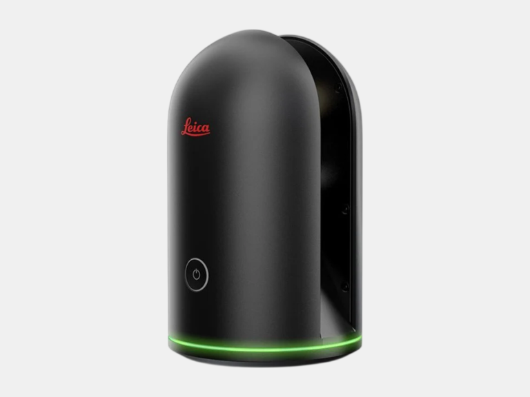
With a range of 0.6-60 m and a 3D accuracy of 4 mm, this terrestrial 3D laser scanner is used to scan smaller projects where space is constrained.
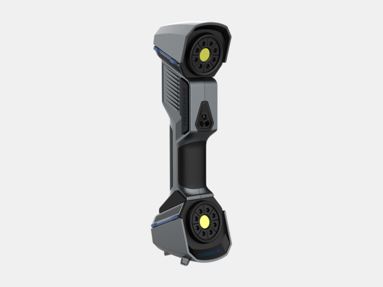
With a 3D accuracy of 0.02 mm, this metrology-grade handheld 3D laser scanner is used to scan small to medium-sized objects with even greater accuracy.
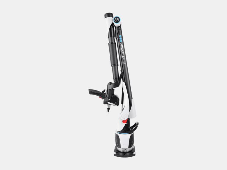
With a 3D accuracy of 0.013 mm for the AS1 3D laser scanner, this measuring arm CMM is used to measure and 3D laser scan small to medium-sized objects with the highest precision.
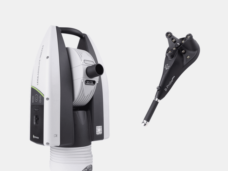
With a range of 0.8-160 m and a 3D probing accuracy of ±0.021 mm + 0.0085 mm/m, this laser tracker CMM is used to measure the dimensions of larger objects, such as aligning heavy machinery, with the greatest level of accuracy.
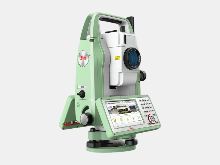
With a range of 0.9–3500 m (accuracy of 1 mm) and an angular accuracy of 1 second, this total station is used to establish control points for large terrestrial 3D laser scanning projects. Using a total station allows us to create large registered point clouds with the greatest accuracy possible.
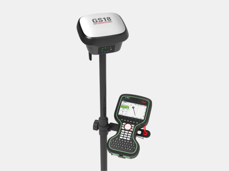
GNSS is used to georeference point clouds, BIM models, and other 2D and 3D models to a desired coordinate system. Using RTK, the Leica GS18 T GNSS has a 3D accuracy of 8 mm and employs tilt compensation, allowing for efficient and accurate data collection.
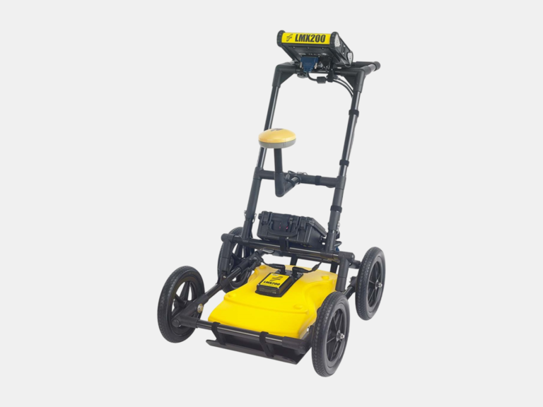
Ground-penetrating radar (GPR) uses radar pulses to image underground elements. It is a nondestructive testing (NDT) method of surveying subsurfaces to locate and investigate underground utilities such as cables and piping.
Ground-penetrating radar (GPR) uses radar pulses to image underground elements. It is a nondestructive testing (NDT) method of surveying subsurfaces to locate and investigate underground utilities such as cables and piping.
Ground-penetrating radar (GPR) uses radar pulses to image underground elements. It is a nondestructive testing (NDT) method of surveying subsurfaces to locate and investigate underground utilities such as cables and piping.
With a 3D accuracy of 0.013 mm for the AS1 3D laser scanner, this measuring arm CMM is used to measure and 3D laser scan small to medium-sized objects with the highest precision.